A leading community-driven organization committed to fostering thriving farms, preserving the environment, and nurturing strong communities, confronted substantial hurdles in managing and protecting natural resources.
Challenges
-

Inefficient Data Management
Entering data into Excel sheets for custom map preparation was time-consuming.
-
Limited Customization
Google Maps custom maps feature did not support custom data, including photos, videos, and text.
-
Branding Limitations
Custom branding was not possible within the existing mapping solution.
-
Map Maintenance Challenges
Maintaining hundreds of custom maps without a standard dashboard was a significant hurdle.
-
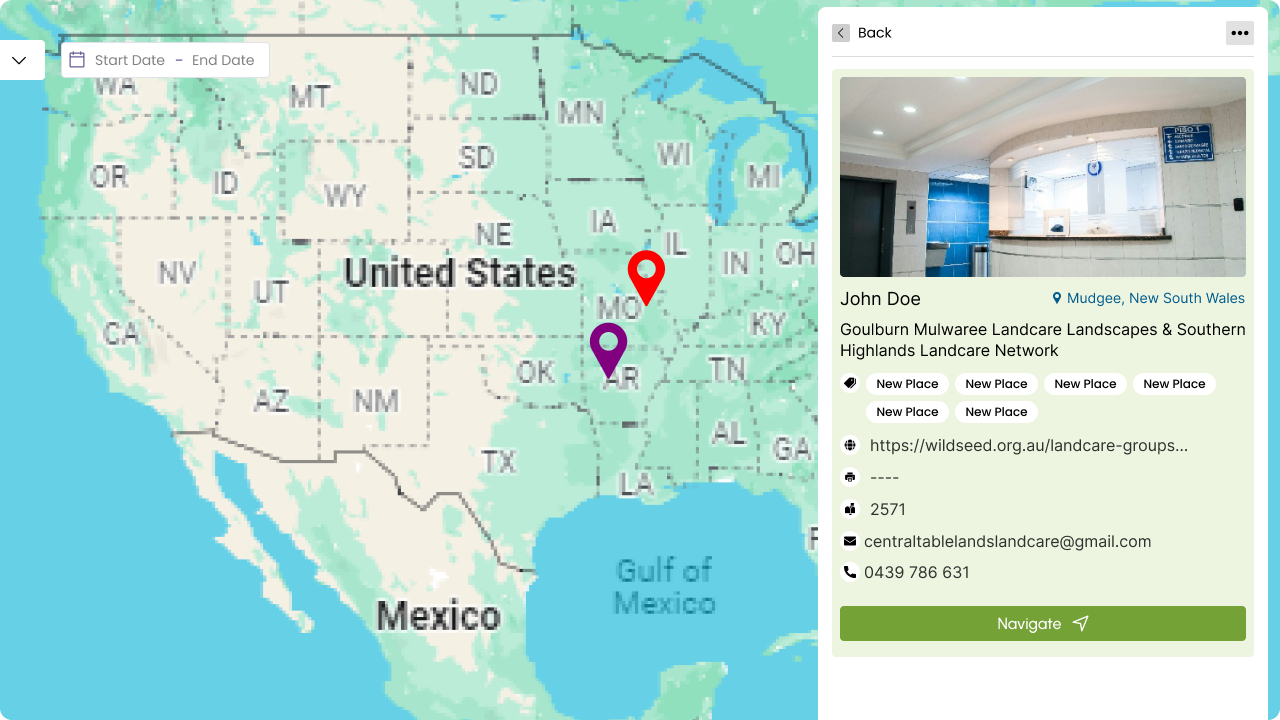
Filtering Limitations
Filtering data inside the map was not customizable.
-
Selective Field Selection
Choosing selective fields from existing Excel sheets was impossible.
Solutions
-

Efficient Data Management
Implemented a database for managing map data, enabling CRUD operations.
-
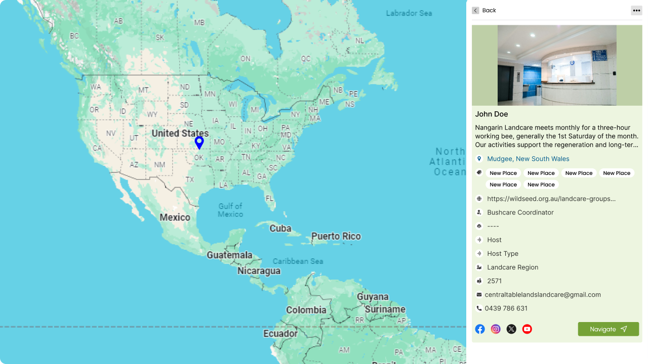
Enhanced Customization
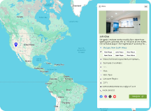
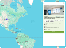
Integrated Google Maps API into the application. Implemented an object storage solution to handle images and videos.
-
Custom Branding
Allowed users to define a color schema (theme) for custom maps using Google Maps API.
-
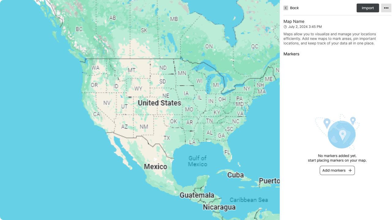
Centralized Map Management
Created a centralized dashboard to maintain data for all custom maps. Implemented tagging and grouping of custom maps.
-
Selective Field Selection
The entire Excel sheet and its data are displayed during the upload process. Enabled selecting required fields while uploading Excel sheets to the database.
Industry
- GEO Care
6 months
Platform & Technologies